Vici.org

Surroundings:

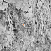
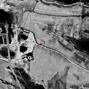
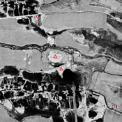
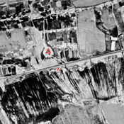
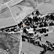
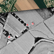
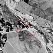
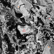
Shortepa (SO-040)_1970_Corona imageryUnidentified site (Sokhta 1)_Corona imageryAnonymous settlement (SO-097)_1970_Corona imageryKattatepa main mound (SO-010)_1970_Corona imageryGorintepa (SO-019)_1970_Corona imageryUnidentified site (Chuqurko'l 1)_1970_Corona imageryKoshtepa 2 (SO-169)_1970_Corona imageryKishlok Bazar Kabristoni (SO-128)_1970_Corona imageryJandavlattepa (SO-001)_1970_Corona imagery

Location:

  • Uzbekistan, Rabotak
  • geo:37.688774,67.13765
  • Location ± 0-5 m.

Period or year:

  • 10~ / 4xx

Class:

  • City
  • visible

Identifiers:

  • vici:place=73229

Annotations

STANCO Ladsilav (2020), Sherabad Oasis - Tracing Historical Landscape in Southern Uzbekistan, Karolinum, Nakladatelstvi Univerzity Karlovy,Czech Republic

STRIDE, S. (2004), La Géographie archéologique de la province du Surkhan Darya (Bactriane du Nord, Ouzbekistan du Sud). Unpublished dissertation at the Université panthéon-Sorbonne (Paris), 5 vols.


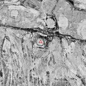
Nearby

Anonymous settlement (SO-100)

Kushan & Kushano-Sasanian, High Medieval and Post-Mongol possible settlement (0,5 ha). Covered by modern cemetery of Koktash. Surveyed by Stanco (2010).

Shishtepa (?) (SO-017, SO-123) (2 km)

Kushan & Kushano-Sasanian, and Early & High Medieval settlement (1,2 ha). Surveyed by Danielisova (2009). Surroundings badly damaged by modern cultivation.

Ayritepa (SO-037) (2 km)

Kushan & Kushano-Sasanian, and Early Medieval settlement (1,6 ha). Surveyed by Stanco (2010).


This object was added by Julien De Chocqueuse on 2021-11-03. Last update by Julien De Chocqueuse on 2024-04-13. Persistent URI: http://vici.org/vici/73229 . Download as RDF/XML, GeoJSON, KML.
Annotation available using the Creative Commons Attribution-ShareAlike 3.0 Unported license. Metadata available using the Creative Commons Public Domain Dedication, unless it is explicitly stated otherwise.
Line tracing by Julien De Chocqueuse.

Vici.org partners:

Livius.org: articles on ancient history   Rijksmuseum van Oudheden