
STANCO Ladsilav (2020), Sherabad Oasis - Tracing Historical Landscape in Southern Uzbekistan, Karolinum, Nakladatelstvi Univerzity Karlovy,Czech Republic

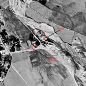
Location:
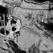
- Uzbekistan, Dzharty-Aryk
- geo:37.604977,67.132385
- Location ± 0-5 m.
Period or year:
- 400~ / 800~
Class:
- Rural settlement
- visible
Identifiers:
- vici:place=74216
Annotations
Nearby
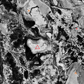
koshtepa II (SO-007)
Kushan and Kushano-Sasanian settlement (2,1 ha).Compact mound, surrounded bi irregular lower area (rabat?) in the east. Surveyed by Stanco (2009).
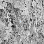
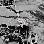
Boshtepa (SO-002) (1 km)
Kushan & Kushano-Sasanian, and Early Medieval settlement (0,7 ha). Pre-modern shrine on top. Surveeyd by L. Stanco (2009).
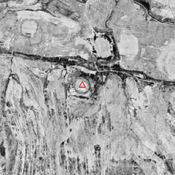
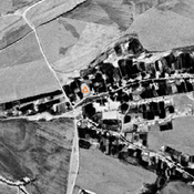
Anonymous kurgan (SO-088) (1 km)
Small compact mound (21x17m), probable high medieval kurgan. Surveyed by Danielisova (2010).