Il n'y a pas une annotation en français. Présenté est une annotation en Anglais.
The mound lies beneath the modern village. Its soil was removed in order to use for the construction of houses.
See:


The mound lies beneath the modern village. Its soil was removed in order to use for the construction of houses.
See:
The mound lies beneath the modern village. Its soil was removed in order to use for the construction of houses.
See:
Roman Rd
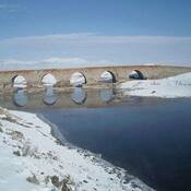
Roman Bridge
Elegeia or Elegia.